Spatial Intelligence Solutions Across Australia
Cutting-Edge Aerial Survey Solutions
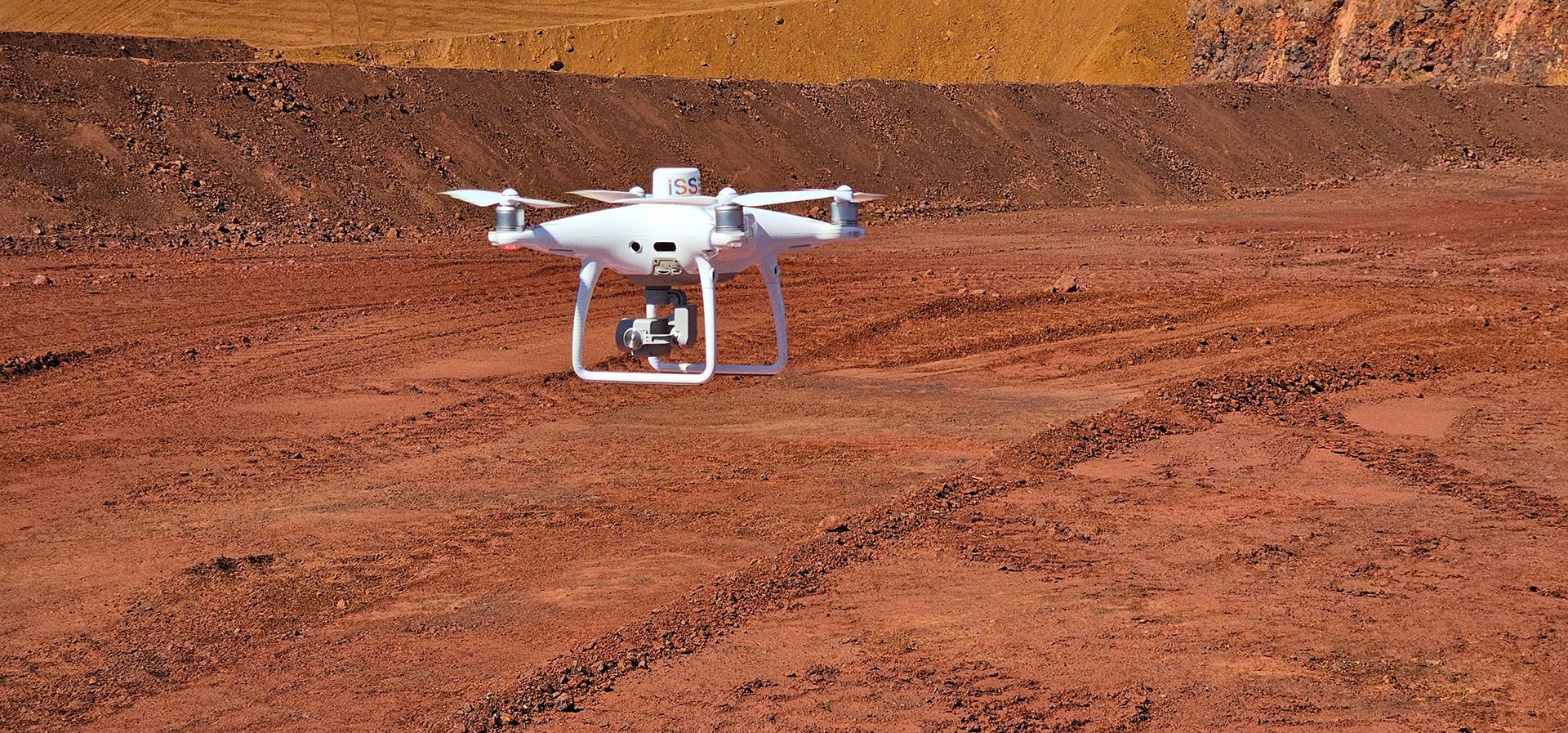
At Industrial Spatial Solutions, we specialise in cutting-edge UAV and aerial surveys across Australia's east coast and beyond. Our services include volumetric surveys, 3D point clouds, visual inspection services, geo-referenced imagery, LiDAR aerial scanning for precise ground mapping in dense vegetation and RGB imagery for accurate vegetation mapping. Trust us to deliver high-quality survey solutions tailored to meet your needs, anytime, anywhere.
Precision Aerial Surveys and Comprehensive Visual Inspections for your property
We pride ourselves on providing top-tier UAV & Aerial Surveys that are accurate, efficient and reliable. Our experienced team utilises the latest surveying technology to deliver precise results for all your surveying needs. From Volumetric surveys to LiDAR aerial scanning and RGB Imagery, we offer a comprehensive range of services to meet your requirements. With our fast turnaround times, you can expect quick and efficient delivery of high-quality results tailored to your specific needs. Trust us to provide accurate surveys that will help you make informed decisions for your projects.